 Loading... Please wait...
- (307) 745-2250
- Home
- My Account
- View Cart

Wyoming State Geological Survey Publications Sales and Free Downloads
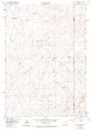
WSGS Main Website: www.wsgs.wyo.gov7.5' Topo Map of the Dry Fork Ranch, WY Quadrangle
$8.00
SKU:
USGS-1973-TWY0450
Availability:
NA
Current Stock:
5
TWY0450 7.5' topographic map of the Dry Fork Ranch, WY Quadrangle, scale 1:24,000, 1973, ISBN 978-0-607-60450-4 Keywords: Topographic maps, Campbell county
