 Loading... Please wait...
- (307) 745-2250
- Home
- My Account
- View Cart

Wyoming State Geological Survey Publications Sales and Free Downloads
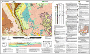
WSGS Main Website: www.wsgs.wyo.govGeologic Map of the Baggs 30' x 60' Quadrangle, Carbon and Sweetwater Counties, Wyoming, and Moffat and Routt Counties, Colorado (2011)
$25.00
SKU:
wsgs-2011-ms-95
Availability:
NA
| Bibliographic Reference | Scott, J.E., Sutherland, W.M., Johnson, Joe, and McLaughlin, J.F., 2011, Geologic map of the Baggs 30' x 60' quadrangle, Carbon and Sweetwater counties, Wyoming, and Moffat and Routt counties, Colorado: Wyoming State Geological Survey Map Series 95, scale 1:100,000. |
| Map Dimensions | 60" x 36" |
Warranty Information
NA
