 Loading... Please wait...
- (307) 745-2250
- Home
- My Account
- View Cart

Wyoming State Geological Survey Publications Sales and Free Downloads
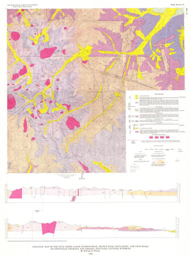
WSGS Main Website: www.wsgs.wyo.govGeologic Map of the Dick Creek Lakes, Dunrud Peak, Francs Peak, Noon Point, and Twin Peaks Quadrangles, Fremont, Hot Springs, and Park Counties, Wyoming (1982)
$5.00
SKU:
wsgs-1982-ms-10
Current Stock:
53
| Bibliographic Reference |
Wilson, W.H., 1982, Geologic map of the Dick Creek Lakes, Dunrud Peak, Francs Peak, Noon Point, and Twin Peaks quadrangles, Fremont, Hot Springs, and Park counties, Wyoming: Geological Survey of Wyoming [Wyoming State Geological Survey] Map Series 10, scale 1:24,000. |
| Map Dimensions | 27" x 36" |
