 Loading... Please wait...
- (307) 745-2250
- Home
- My Account
- View Cart

Wyoming State Geological Survey Publications Sales and Free Downloads
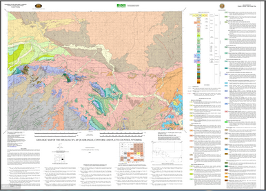
WSGS Main Website: www.wsgs.wyo.govGeologic Map of the Douglas 30' x 60' Quadrangle, Converse and Platte Counties, Wyoming (2008)
$25.00
SKU:
wsgs-2008-ms-83
Availability:
NA
Warranty Information
NA
