 Loading... Please wait...
- (307) 745-2250
- Home
- My Account
- View Cart

Wyoming State Geological Survey Publications Sales and Free Downloads
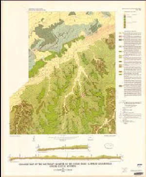
WSGS Main Website: www.wsgs.wyo.govGeologic map of the southeast quarter of the Cedar Ridge 15' Quadrangle, Crook County, Wyoming
$9.00
SKU:
USGS-1978-I-1040
Availability:
NA
Current Stock:
7
I-1040 Geologic map of the southeast quarter of the Cedar Ridge 15' Quadrangle, Crook County, Wyoming, scale 1:24,000, 1978, ISBN 978-0-607-78029-1 Keywords: Crook county, Geologic map, Bedrock
