 Loading... Please wait...
- (307) 745-2250
- Home
- My Account
- View Cart

Wyoming State Geological Survey Publications Sales and Free Downloads
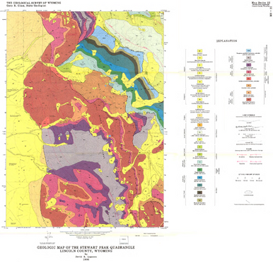
WSGS Main Website: www.wsgs.wyo.govGeologic Map of the Stewart Peak Quadrangle, Lincoln County, Wyoming (1986)
$5.00
SKU:
wsgs-1986-ms-22
Availability:
NA
Current Stock:
135
Warranty Information
NA
