 Loading... Please wait...
- (307) 745-2250
- Home
- My Account
- View Cart

Wyoming State Geological Survey Publications Sales and Free Downloads
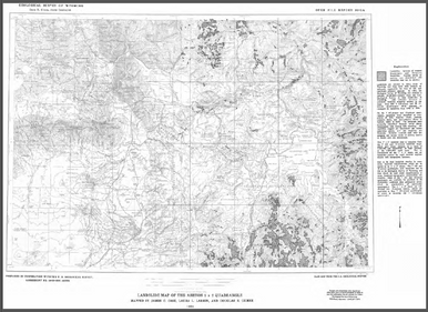
WSGS Main Website: www.wsgs.wyo.govLandslide Map of the Wyoming Half of the Ashton 1° x 2° Quadrangle (1991)
$0.00
SKU:
wsgs-1991-ofr-02-A
