Loading... Please wait...

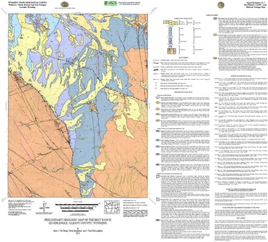
Preliminary Geologic Map of the Best Ranch Quadrangle, Albany County, Wyoming (2011)

$25.00
SKU:
wsgs-2011-ofr-07
Current Stock:
TEMPORARILY OUT OF STOCK - Please call for more information!

Sorry but this item is currently unavailable.

Please check back at a later stage.


free-download.png


Bibliographic Reference

Ver Ploeg, A.J., Bagdonas, D., and McLaughlin, J.F., 2011, Preliminary geologic map of the Best Ranch quadrangle, Albany County, Wyoming: Wyoming State Geological Survey Open File Report 11-7, scale 1:24,000.

Map Dimensions approx. 34 x 30"


Find Similar Products by Category


Categories

Newsletter


Connect with us: Twitter Facebook YouTube Instagram