 Loading... Please wait...
- (307) 745-2250
- Home
- My Account
- View Cart

Wyoming State Geological Survey Publications Sales and Free Downloads
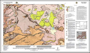
WSGS Main Website: www.wsgs.wyo.govPreliminary geologic map of the Chugwater 30' x 60' quadrangle, Goshen, Platte, and Laramie Counties, Wyoming, and Scotts Bluff and Banner Counties, Nebraska (2020)
$25.00
SKU:
wsgs-2020-ofr-01
Availability:
NA
| Bibliographic Reference | Stafford, J.E., and Loveland, A.M., 2020, Preliminary geologic map of the Chugwater 30’ x 60’ quadrangle, Goshen, Platte, and Laramie counties, Wyoming, and Scotts Bluff and Banner counties, Nebraska: Wyoming State Geological Survey Open File Report 20-1, scale 1:100,000. |
| Map Dimensions | Approx. 28" x 48" |
Warranty Information
NA
