 Loading... Please wait...
- (307) 745-2250
- Home
- My Account
- View Cart

Wyoming State Geological Survey Publications Sales and Free Downloads
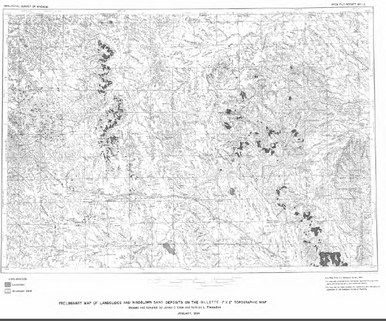
WSGS Main Website: www.wsgs.wyo.govPreliminary Map of Landslides and Windblown Sand Deposits on the Gillette 1° x 2° Topographic Map (1984)
$0.00
SKU:
wsgs-1984-ofr-12
