 Loading... Please wait...
- (307) 745-2250
- Home
- My Account
- View Cart

Wyoming State Geological Survey Publications Sales and Free Downloads
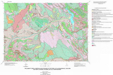
WSGS Main Website: www.wsgs.wyo.govPreliminary Surficial Geologic Map of the Powell 30' x 60' Quadrangle, Bighorn [sic] and Park Counties, Wyoming, and Southern Montana (1999)
$20.00
SKU:
wsgs-1999-hsdm-03
Availability:
NA
| Bibliographic Reference | Hallberg, L.L., and Case, J.C., 1999, Preliminary digital surficial geologic map of the Powell 30' x 60' quadrangle, Bighorn [sic] and Park counties, Wyoming, and southern Montana: Wyoming State Geological Survey Hazards Section Digital Map 99-3, scale 1:100,000. |
| Map Dimensions | 91" x 61" |
Warranty Information
NA
