 Loading... Please wait...
- (307) 745-2250
- Home
- My Account
- View Cart

Wyoming State Geological Survey Publications Sales and Free Downloads
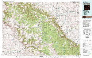
WSGS Main Website: www.wsgs.wyo.govUSGS 30' x 60' Metric Topographic Map of Burgess Junction, WY Quadrangle
$9.00
SKU:
USGS-1979-TWY0228
Availability:
NA
Current Stock:
10
TWY0228 USGS 30' x 60' metric topographic map of the Burgess Junction, WY Quadrangle, scale 1:100,000, 1979, ISBN 978-0-607-60266-1 Keywords: Big Horn county, Sheridan county, Topographic maps
