 Loading... Please wait...
- (307) 745-2250
- Home
- My Account
- View Cart

Wyoming State Geological Survey Publications Sales and Free Downloads
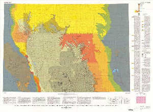
WSGS Main Website: www.wsgs.wyo.govGeologic map showing the thickness and structure of the Anderson-Wyodak coal bed in the north half of the Powder River Basin, southeastern Montana and northeastern Wyoming
$9.00
SKU:
USGS-1990-I-2094-A
Availability:
NA
Current Stock:
8
I-2094-A Geologic map showing the thickness and structure of the Anderson-Wyodak coal bed in the north half of the Powder River Basin, southeastern Montana and northeastern Wyoming, scale 1:2,000,000, 1990, ISBN 978-0-607-79262-1 Keywords: Coal, Geologic map, Bedrock, Powder river basin
